Latitude: 53.6898 / 53°41'23"N
Longitude: -0.3484 / 0°20'54"W
OS Eastings: 509161
OS Northings: 422748
OS Grid: TA091227
Mapcode National: GBR VT0S.C1
Mapcode Global: WHGFY.MJ96
Pluscode: 9C5XMMQ2+WJ
What3Words: spins.cheer.composers
Is the location marker in the wrong place? You can help fix that!
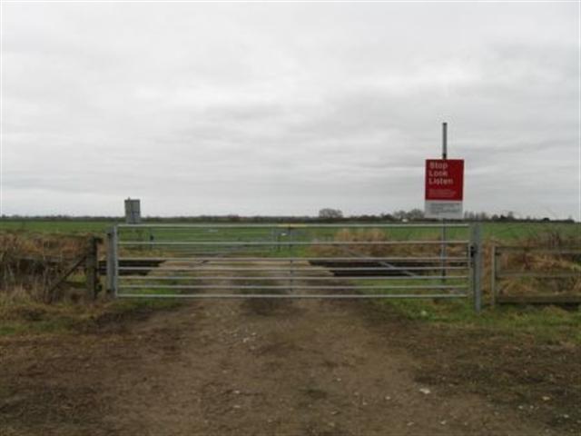
We don't yet have any user-contributed photos of Leys Farm Level Crossing.