Latitude: 54.2195 / 54°13'10"N
Longitude: -3.3238 / 3°19'25"W
OS Eastings: 313782
OS Northings: 481227
OS Grid: SD137812
Mapcode National: GBR 5M7N.66
Mapcode Global: WH721.X6FL
Pluscode: 9C6R6M9G+QF
What3Words: alpha.hologram.excavate
Is the location marker in the wrong place? You can help fix that!
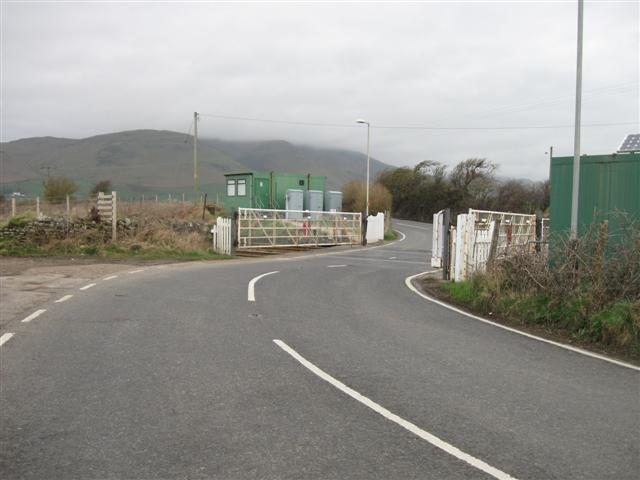
We don't yet have any user-contributed photos of Limestone Hall Level Crossing.