Latitude: 52.6406 / 52°38'26"N
Longitude: -1.3013 / 1°18'4"W
OS Eastings: 447374
OS Northings: 304990
OS Grid: SK473049
Mapcode National: GBR 7KX.FTH
Mapcode Global: WHDJ7.ZWHJ
Pluscode: 9C4WJMRX+6F
What3Words: scarf.reliving.basic
Is the location marker in the wrong place? You can help fix that!
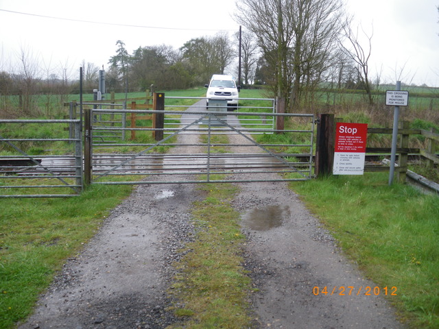
We don't yet have any user-contributed photos of Lindridge Fields House Level Crossing.