Latitude: 51.5337 / 51°32'1"N
Longitude: -3.7039 / 3°42'13"W
OS Eastings: 281912
OS Northings: 183018
OS Grid: SS819830
Mapcode National: GBR H7.GM2B
Mapcode Global: VH5H8.RQ84
Pluscode: 9C3RG7MW+FC
What3Words: lousy.chatters.rentals
Is the location marker in the wrong place? You can help fix that!
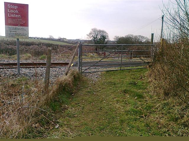
We don't yet have any user-contributed photos of Llanvihangel Level Crossing.