Latitude: 53.7191 / 53°43'8"N
Longitude: -2.7138 / 2°42'49"W
OS Eastings: 352995
OS Northings: 424984
OS Grid: SD529249
Mapcode National: GBR 9THF.8J
Mapcode Global: WH85T.8SZ6
Pluscode: 9C5VP79P+MF
What3Words: faces.crest.barks
Is the location marker in the wrong place? You can help fix that!
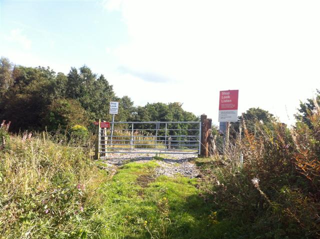
We don't yet have any user-contributed photos of Lodge Lane Level Crossing.