Latitude: 54.2356 / 54°14'7"N
Longitude: -0.4227 / 0°25'21"W
OS Eastings: 502902
OS Northings: 483353
OS Grid: TA029833
Mapcode National: GBR TMHG.8F
Mapcode Global: WHGC6.GSYT
Pluscode: 9C6X6HPG+6W
What3Words: ushering.skinny.thinks
Is the location marker in the wrong place? You can help fix that!
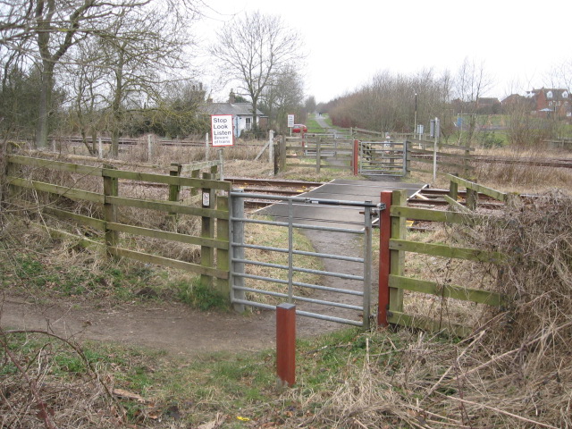
We don't yet have any user-contributed photos of Long Lane No.2 Level Crossing.