Latitude: 54.2274 / 54°13'38"N
Longitude: -3.2559 / 3°15'21"W
OS Eastings: 318223
OS Northings: 482030
OS Grid: SD182820
Mapcode National: GBR 5MPK.XB
Mapcode Global: WH722.Y0RH
Pluscode: 9C6R6PGV+XJ
What3Words: grief.tens.populate
Is the location marker in the wrong place? You can help fix that!
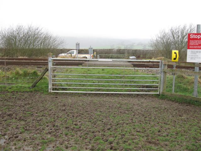
We don't yet have any user-contributed photos of Long Marsh Level Crossing.