Latitude: 51.0813 / 51°4'52"N
Longitude: -2.5715 / 2°34'17"W
OS Eastings: 360064
OS Northings: 131485
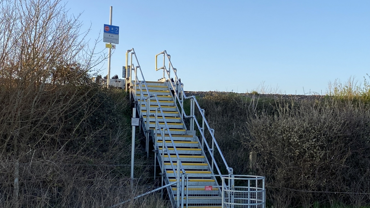
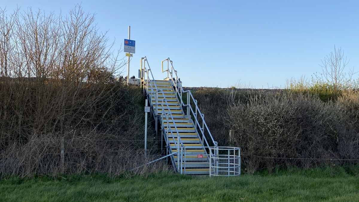
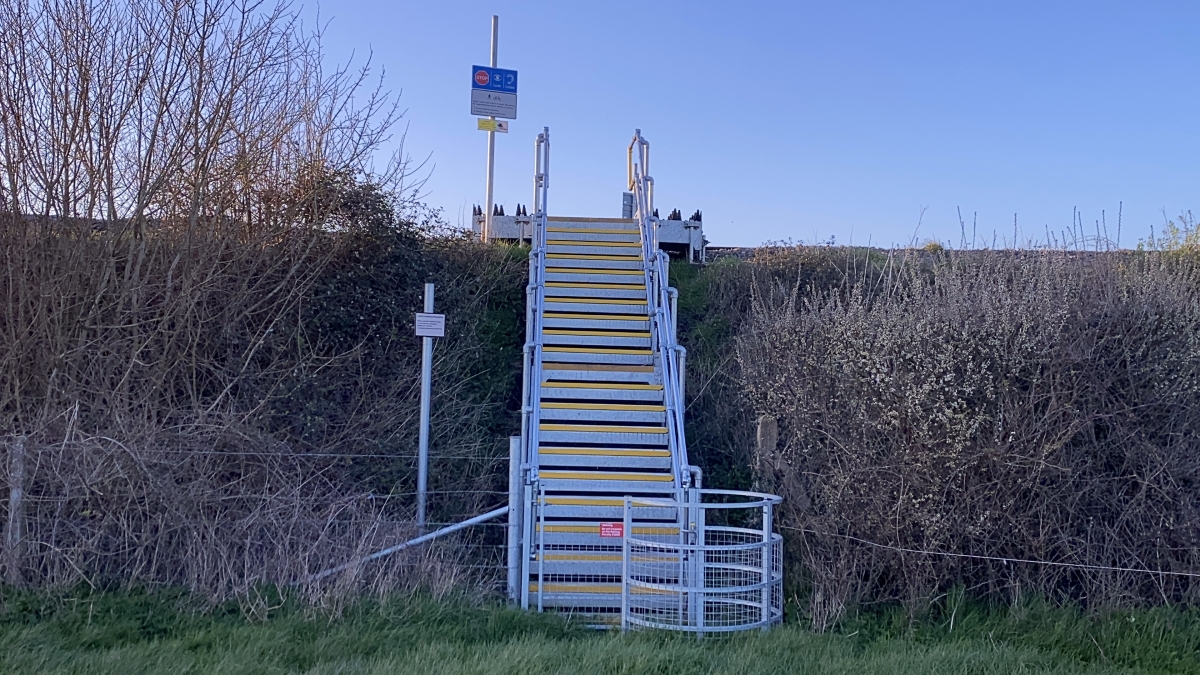
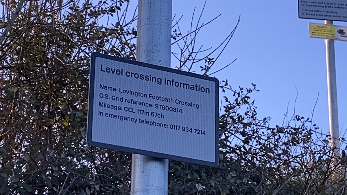
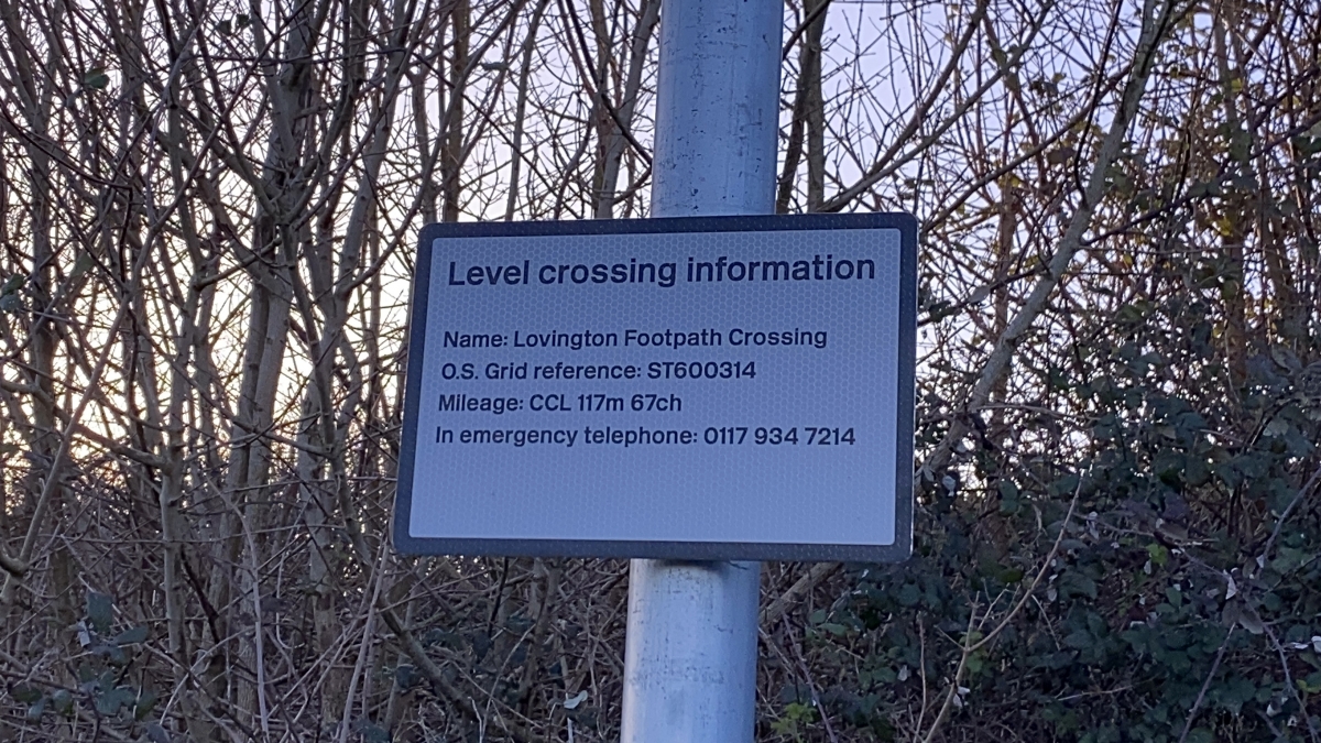
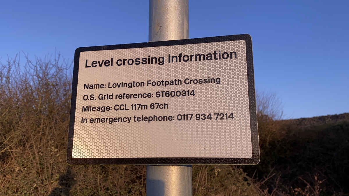
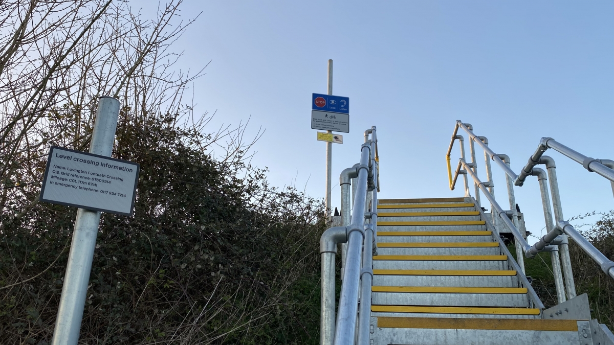
OS Grid: ST600314
Mapcode National: GBR MR.D4BS
Mapcode Global: FRA 56H8.B0R
Pluscode: 9C3V3CJH+GC
What3Words: personal.fewer.everybody
Is the location marker in the wrong place? You can help fix that!