Latitude: 51.8601 / 51°51'36"N
Longitude: -2.3253 / 2°19'30"W
OS Eastings: 377696
OS Northings: 218000
OS Grid: SO776180
Mapcode National: GBR 0JR.6YB
Mapcode Global: VH949.NH2W
Pluscode: 9C3VVM6F+3V
What3Words: buddy.transit.wide
Is the location marker in the wrong place? You can help fix that!
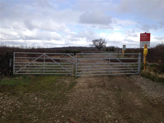
We don't yet have any user-contributed photos of Lower Barn Level Crossing.