Latitude: 52.138 / 52°8'16"N
Longitude: -2.3134 / 2°18'48"W
OS Eastings: 378648
OS Northings: 248906
OS Grid: SO786489
Mapcode National: GBR 0F8.XLX
Mapcode Global: VH92Y.VJCB
Pluscode: 9C4V4MQP+6M
What3Words: pixel.pegs.fetching
Is the location marker in the wrong place? You can help fix that!
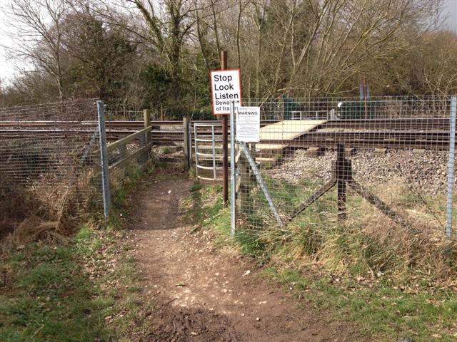
We don't yet have any user-contributed photos of Lower Howsell Level Crossing.