Latitude: 52.3154 / 52°18'55"N
Longitude: -3.238 / 3°14'16"W
OS Eastings: 315705
OS Northings: 269314
OS Grid: SO157693
Mapcode National: GBR 9W.W9GK
Mapcode Global: VH699.T2K9
Pluscode: 9C4R8Q86+5R
What3Words: flexed.dictation.blockage
Is the location marker in the wrong place? You can help fix that!
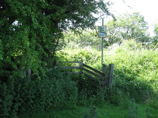
We don't yet have any user-contributed photos of Lower Pentre Level Crossing.