Latitude: 51.0604 / 51°3'37"N
Longitude: -2.5499 / 2°32'59"W
OS Eastings: 361560
OS Northings: 129146
OS Grid: ST615291
Mapcode National: GBR MS.FHSP
Mapcode Global: FRA 56K9.SJK
Pluscode: 9C3V3F62+42
What3Words: bogus.alarmed.mount
Is the location marker in the wrong place? You can help fix that!
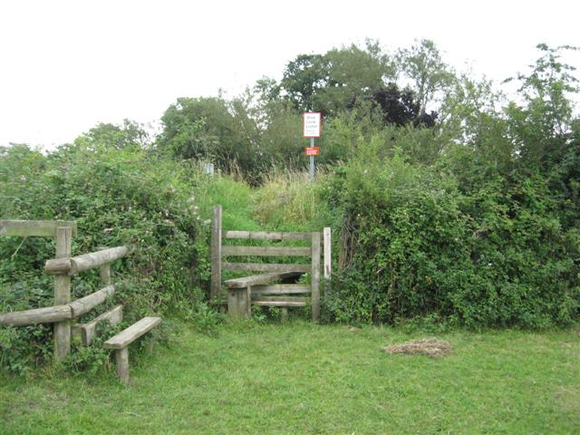
We don't yet have any user-contributed photos of Lower Thorn Level Crossing.