Latitude: 53.7846 / 53°47'4"N
Longitude: -1.0159 / 1°0'57"W
OS Eastings: 464937
OS Northings: 432481
OS Grid: SE649324
Mapcode National: GBR PSBP.V1
Mapcode Global: WHFD3.C4GG
Pluscode: 9C5WQXMM+RJ
What3Words: juniors.snacking.heartened
Is the location marker in the wrong place? You can help fix that!
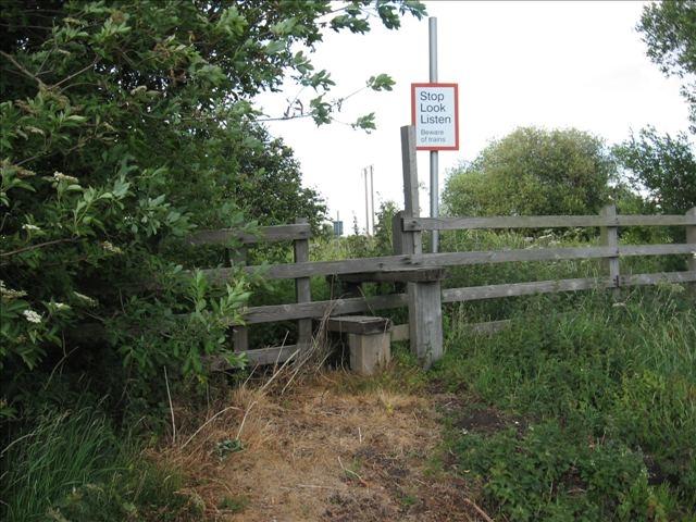
We don't yet have any user-contributed photos of Lund Hall Farm Level Crossing.