Latitude: 51.7139 / 51°42'50"N
Longitude: -2.5314 / 2°31'53"W
OS Eastings: 363381
OS Northings: 201821
OS Grid: SO633018
Mapcode National: GBR JT.37XP
Mapcode Global: VH87J.25LY
Pluscode: 9C3VPF79+HC
What3Words: chickens.lists.proves
Is the location marker in the wrong place? You can help fix that!
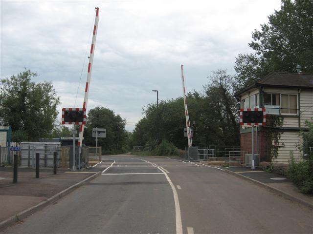
We don't yet have any user-contributed photos of Lydney Level Crossing.