Latitude: 50.7625 / 50°45'44"N
Longitude: -1.5382 / 1°32'17"W
OS Eastings: 432664
OS Northings: 95977
OS Grid: SZ326959
Mapcode National: GBR 783.1Y5
Mapcode Global: FRA 77N2.BK9
Pluscode: 9C2WQF66+XP
What3Words: cotton.technical.final
Is the location marker in the wrong place? You can help fix that!
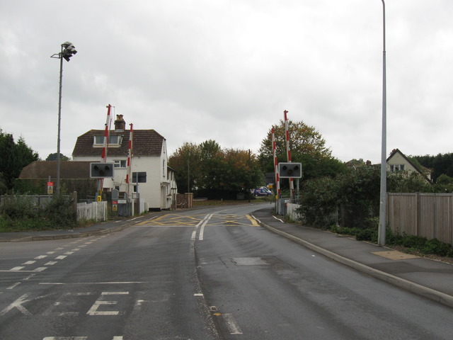
We don't yet have any user-contributed photos of Lymington Town Level Crossing.