Latitude: 52.8303 / 52°49'49"N
Longitude: -2.7372 / 2°44'13"W
OS Eastings: 350430
OS Northings: 326122
OS Grid: SJ504261
Mapcode National: GBR 7J.TMMK
Mapcode Global: WH8B7.X4R1
Pluscode: 9C4VR7J7+44
What3Words: electrode.kinds.calculate
Is the location marker in the wrong place? You can help fix that!
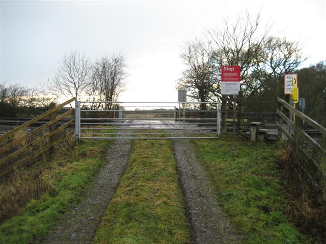
We don't yet have any user-contributed photos of Lyons Wood Farm Level Crossing.