Latitude: 52.5928 / 52°35'34"N
Longitude: -3.8594 / 3°51'33"W
OS Eastings: 274140
OS Northings: 301067
OS Grid: SH741010
Mapcode National: GBR 92.9LDZ
Mapcode Global: WH57G.P3C4
Pluscode: 9C4RH4VR+46
What3Words: rags.voltages.nagging
Is the location marker in the wrong place? You can help fix that!
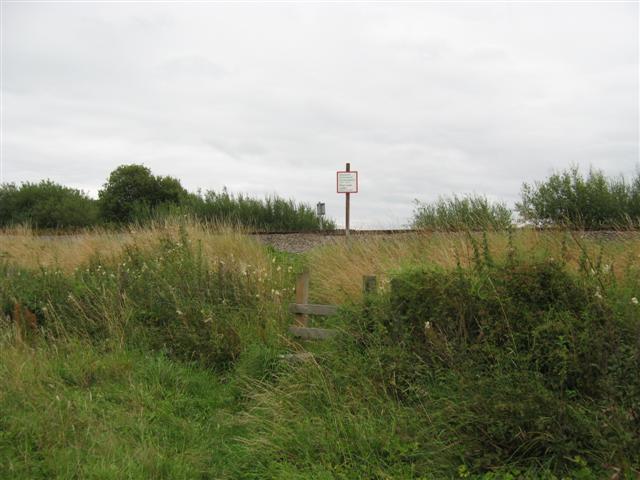
We don't yet have any user-contributed photos of Machynlleth Level Crossing.