Latitude: 53.506 / 53°30'21"N
Longitude: -2.9316 / 2°55'53"W
OS Eastings: 338312
OS Northings: 401435
OS Grid: SD383014
Mapcode National: GBR 7WZW.3X
Mapcode Global: WH86V.Y46L
Pluscode: 9C5VG349+99
What3Words: tins.grab.sideboard
Is the location marker in the wrong place? You can help fix that!
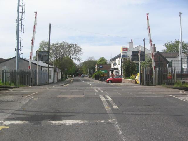
We don't yet have any user-contributed photos of Maghull Level Crossing.