Latitude: 51.3353 / 51°20'6"N
Longitude: -1.8038 / 1°48'13"W
OS Eastings: 413765
OS Northings: 159594
OS Grid: SU137595
Mapcode National: GBR 4Y4.6S9
Mapcode Global: VHB4K.PP8R
Pluscode: 9C3W85PW+4F
What3Words: mingles.fears.giving
Is the location marker in the wrong place? You can help fix that!
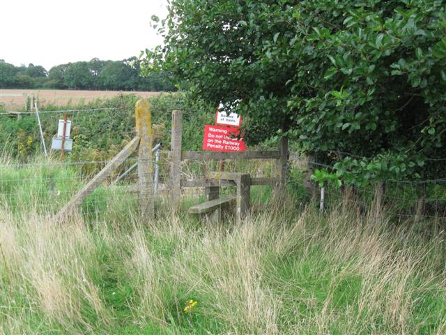
We don't yet have any user-contributed photos of Manningford Level Crossing.