Latitude: 54.0556 / 54°3'20"N
Longitude: -0.2946 / 0°17'40"W
OS Eastings: 511732
OS Northings: 463530
OS Grid: TA117635
Mapcode National: GBR VPDJ.0X
Mapcode Global: WHHFC.FBX7
Pluscode: 9C6X3P44+64
What3Words: snapped.either.alike
Is the location marker in the wrong place? You can help fix that!
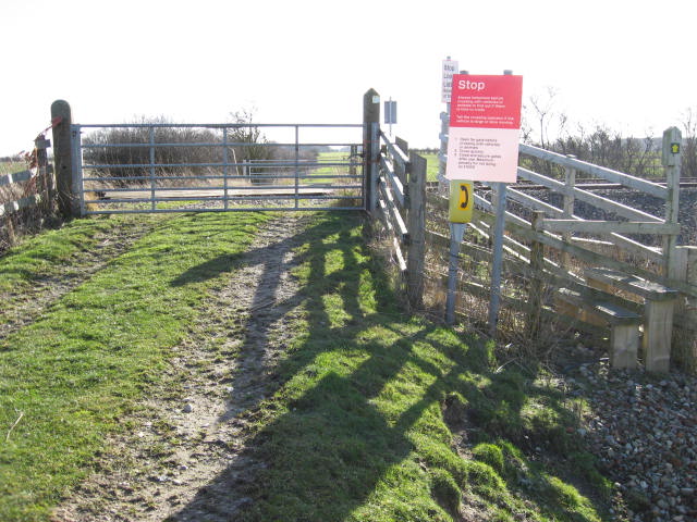
We don't yet have any user-contributed photos of Manor Farm Level Crossing.