Latitude: 53.8039 / 53°48'14"N
Longitude: -1.4218 / 1°25'18"W
OS Eastings: 438179
OS Northings: 434332
OS Grid: SE381343
Mapcode National: GBR LSHG.Z4
Mapcode Global: WHDBL.4N77
Pluscode: 9C5WRH3H+H7
What3Words: pouch.driven.wizard
Is the location marker in the wrong place? You can help fix that!
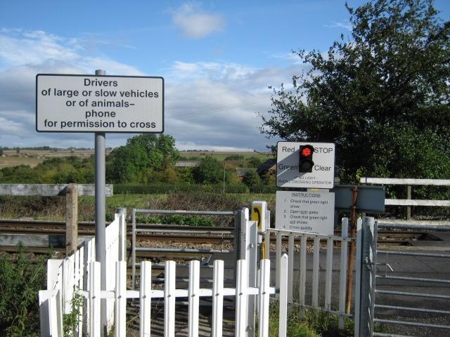
We don't yet have any user-contributed photos of Manston Level Crossing.