Latitude: 54.1491 / 54°8'56"N
Longitude: -0.7478 / 0°44'52"W
OS Eastings: 481885
OS Northings: 473313
OS Grid: SE818733
Mapcode National: GBR RN6G.XD
Mapcode Global: WHFB9.HZ42
Pluscode: 9C6X47X2+MV
What3Words: convinced.mount.thudded
Is the location marker in the wrong place? You can help fix that!
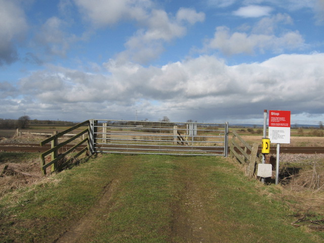
We don't yet have any user-contributed photos of Marr House Farm Level Crossing.