Latitude: 58.1303 / 58°7'48"N
Longitude: -3.6686 / 3°40'6"W
OS Eastings: 301832
OS Northings: 916916
OS Grid: ND018169
Mapcode National: GBR K797.J84
Mapcode Global: WH5DL.MX84
Pluscode: 9CCR48JJ+4H
What3Words: digesting.gestures.soils
Is the location marker in the wrong place? You can help fix that!
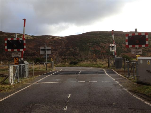
We don't yet have any user-contributed photos of Marrel Level Crossing.