Latitude: 53.1362 / 53°8'10"N
Longitude: -1.5571 / 1°33'25"W
OS Eastings: 429724
OS Northings: 359980
OS Grid: SK297599
Mapcode National: GBR 58X.95G
Mapcode Global: WHCDP.1FSL
Pluscode: 9C5W4CPV+F4
What3Words: fakes.wordplay.pumpkin
Is the location marker in the wrong place? You can help fix that!
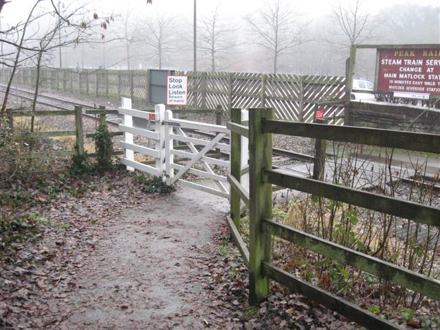
We don't yet have any user-contributed photos of Matlock Bath Level Crossing.