Latitude: 53.602 / 53°36'7"N
Longitude: -0.9158 / 0°54'56"W
OS Eastings: 471845
OS Northings: 412258
OS Grid: SE718122
Mapcode National: GBR QV1S.JJ
Mapcode Global: WHFDX.XQ3J
Pluscode: 9C5XJ32M+QM
What3Words: pigment.masts.slope
Is the location marker in the wrong place? You can help fix that!
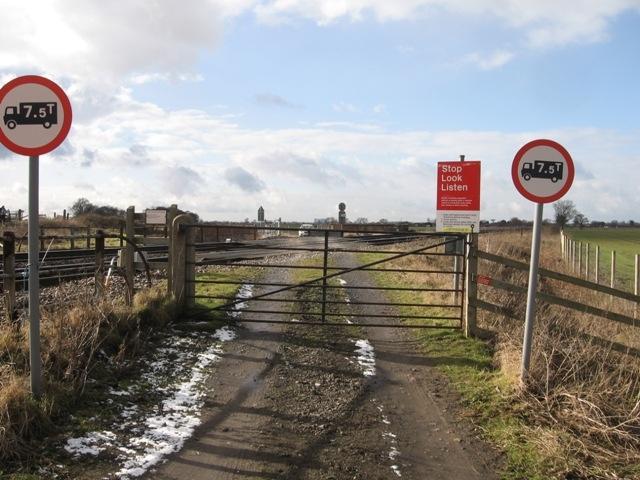
We don't yet have any user-contributed photos of Mauds Bridge Level Crossing.