Latitude: 52.6398 / 52°38'23"N
Longitude: -0.343 / 0°20'34"W
OS Eastings: 512222
OS Northings: 305963
OS Grid: TF122059
Mapcode National: GBR GXG.J3V
Mapcode Global: WHGLZ.PXW4
Pluscode: 9C4XJMQ4+WR
What3Words: carpentry.purely.giants
Is the location marker in the wrong place? You can help fix that!
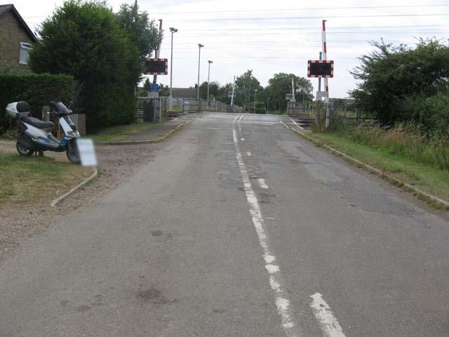
We don't yet have any user-contributed photos of Maxey Level Crossing.