Latitude: 52.3922 / 52°23'31"N
Longitude: 1.5419 / 1°32'30"E
OS Eastings: 641088
OS Northings: 283036
OS Grid: TM410830
Mapcode National: GBR XN4.SSH
Mapcode Global: VHM6X.P40G
Pluscode: 9F439GRR+VQ
What3Words: potential.evaporate.lessening
Is the location marker in the wrong place? You can help fix that!
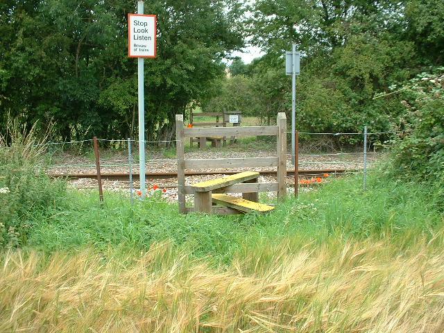
We don't yet have any user-contributed photos of Mayfield Low Level Crossing.