Latitude: 58.0172 / 58°1'2"N
Longitude: -3.8533 / 3°51'11"W
OS Eastings: 290611
OS Northings: 904620
OS Grid: NC906046
Mapcode National: GBR J7VJ.PNG
Mapcode Global: WH4CY.SR98
Pluscode: 9CCR248W+VM
What3Words: gazes.rails.flame
Is the location marker in the wrong place? You can help fix that!
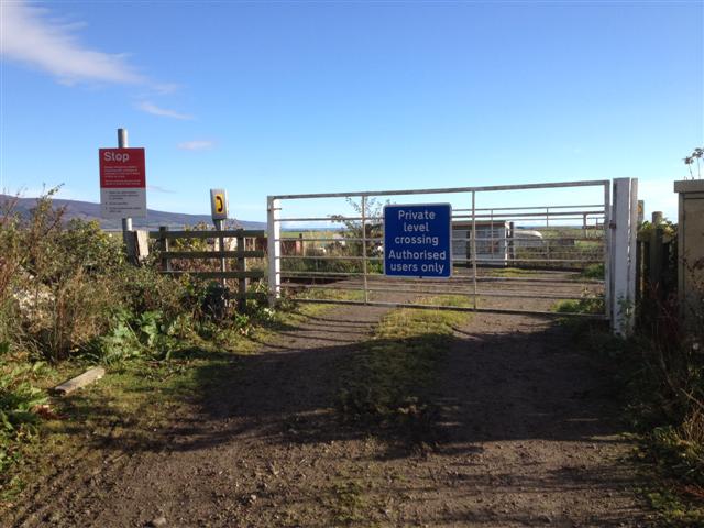
We don't yet have any user-contributed photos of Mcivors Level Crossing.