Latitude: 54.2337 / 54°14'1"N
Longitude: -0.4257 / 0°25'32"W
OS Eastings: 502709
OS Northings: 483147
OS Grid: TA027831
Mapcode National: GBR TMGH.M2
Mapcode Global: WHGC6.FVH7
Pluscode: 9C6X6HMF+FP
What3Words: doubt.bypassed.timer
Is the location marker in the wrong place? You can help fix that!
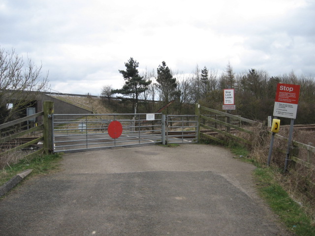
We don't yet have any user-contributed photos of Meads Lane Level Crossing.