Latitude: 57.8584 / 57°51'30"N
Longitude: -4.3094 / 4°18'33"W
OS Eastings: 263066
OS Northings: 887775
OS Grid: NH630877
Mapcode National: GBR H7QY.QRN
Mapcode Global: WH3CC.SR30
Pluscode: 9C9QVM5R+96
What3Words: competing.vital.wasp
Is the location marker in the wrong place? You can help fix that!
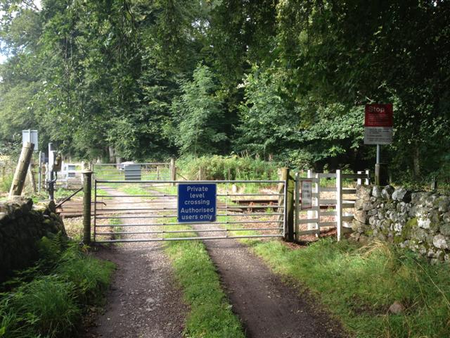
We don't yet have any user-contributed photos of Mid Fearn Level Crossing.