Latitude: 53.6458 / 53°38'44"N
Longitude: -0.9435 / 0°56'36"W
OS Eastings: 469939
OS Northings: 417101
OS Grid: SE699171
Mapcode National: GBR PVV8.JT
Mapcode Global: WHFDQ.GMYG
Pluscode: 9C5XJ3W4+8J
What3Words: patching.waiters.facelift
Is the location marker in the wrong place? You can help fix that!
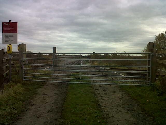
We don't yet have any user-contributed photos of Moorends Farm Level Crossing.