Latitude: 57.8232 / 57°49'23"N
Longitude: -4.0698 / 4°4'11"W
OS Eastings: 277160
OS Northings: 883399
OS Grid: NH771833
Mapcode National: GBR J8B1.DJD
Mapcode Global: WH4DT.GM7H
Pluscode: 9C9QRWFJ+73
What3Words: paramedic.dispensed.producing
Is the location marker in the wrong place? You can help fix that!
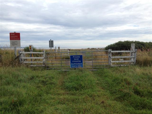
We don't yet have any user-contributed photos of Morangie Level Crossing.