Latitude: 52.9155 / 52°54'55"N
Longitude: -3.0529 / 3°3'10"W
OS Eastings: 329295
OS Northings: 335866
OS Grid: SJ292358
Mapcode National: GBR 73.N8XD
Mapcode Global: WH89J.2ZH8
Pluscode: 9C4RWW8W+6R
What3Words: testing.used.chariots
Is the location marker in the wrong place? You can help fix that!
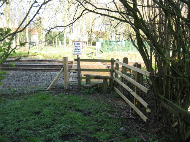
We don't yet have any user-contributed photos of Moreton Hall 2 Level Crossing.