Latitude: 51.7125 / 51°42'44"N
Longitude: -4.7266 / 4°43'35"W
OS Eastings: 211731
OS Northings: 205044
OS Grid: SN117050
Mapcode National: GBR GD.P97T
Mapcode Global: VH2PL.1732
Pluscode: 9C3QP76F+X9
What3Words: unstable.shaves.onlookers
Is the location marker in the wrong place? You can help fix that!
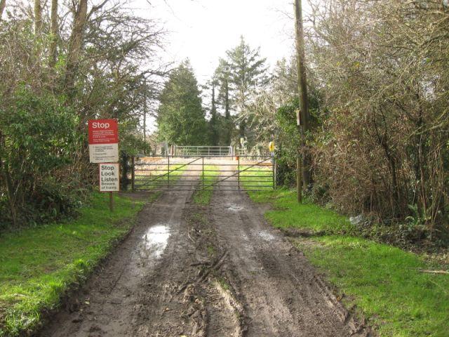
We don't yet have any user-contributed photos of Moreton Level Crossing.