Latitude: 51.9203 / 51°55'13"N
Longitude: -2.0903 / 2°5'25"W
OS Eastings: 393883
OS Northings: 224649
OS Grid: SO938246
Mapcode National: GBR 2LY.DBW
Mapcode Global: VH941.QZ8R
Pluscode: 9C3VWWC5+4V
What3Words: drain.motel.anyone
Is the location marker in the wrong place? You can help fix that!
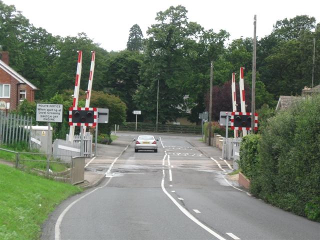
We don't yet have any user-contributed photos of Morris Hill Level Crossing.