Latitude: 54.5737 / 54°34'25"N
Longitude: -1.575 / 1°34'29"W
OS Eastings: 427575
OS Northings: 519915
OS Grid: NZ275199
Mapcode National: GBR KHFK.T7
Mapcode Global: WHC5P.S96K
Pluscode: 9C6WHCFG+F2
What3Words: rate.cafe.hiding
Is the location marker in the wrong place? You can help fix that!
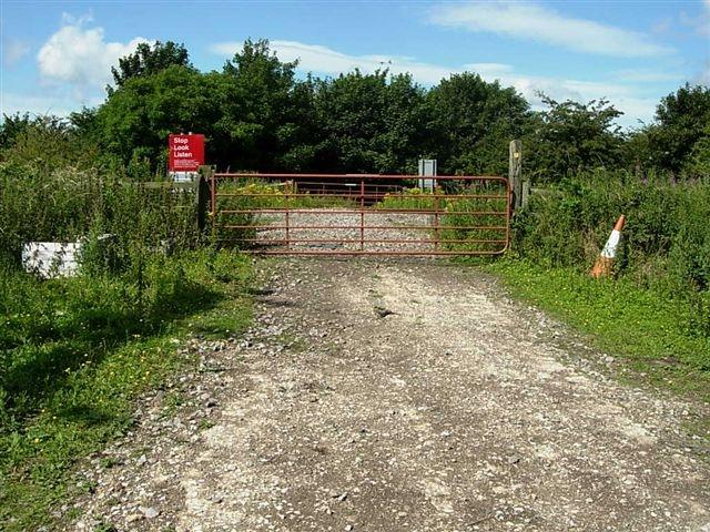
We don't yet have any user-contributed photos of Motorway Level Crossing.