Latitude: 56.6736 / 56°40'25"N
Longitude: -3.6831 / 3°40'59"W
OS Eastings: 296962
OS Northings: 754804
OS Grid: NN969548
Mapcode National: GBR V0.PL7V
Mapcode Global: WH5MR.DJC9
Pluscode: 9C8RM8F8+CQ
What3Words: dolly.cries.insulated
Is the location marker in the wrong place? You can help fix that!
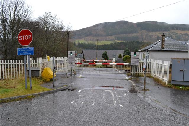
We don't yet have any user-contributed photos of Moulinearn B Level Crossing.