Latitude: 52.3242 / 52°19'27"N
Longitude: 0.2337 / 0°14'1"E
OS Eastings: 552323
OS Northings: 271920
OS Grid: TL523719
Mapcode National: GBR M7D.CVP
Mapcode Global: VHHJL.0VD3
Pluscode: 9F4286FM+MF
What3Words: loyal.allies.gurgling
Is the location marker in the wrong place? You can help fix that!
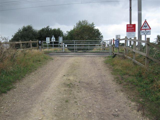
We don't yet have any user-contributed photos of Nairns No. 117 Level Crossing.