Latitude: 54.0122 / 54°0'43"N
Longitude: -0.3824 / 0°22'56"W
OS Eastings: 506099
OS Northings: 458565
OS Grid: TA060585
Mapcode National: GBR TQS1.0H
Mapcode Global: WHGDD.3F50
Pluscode: 9C6X2J69+V2
What3Words: vote.having.plodding
Is the location marker in the wrong place? You can help fix that!
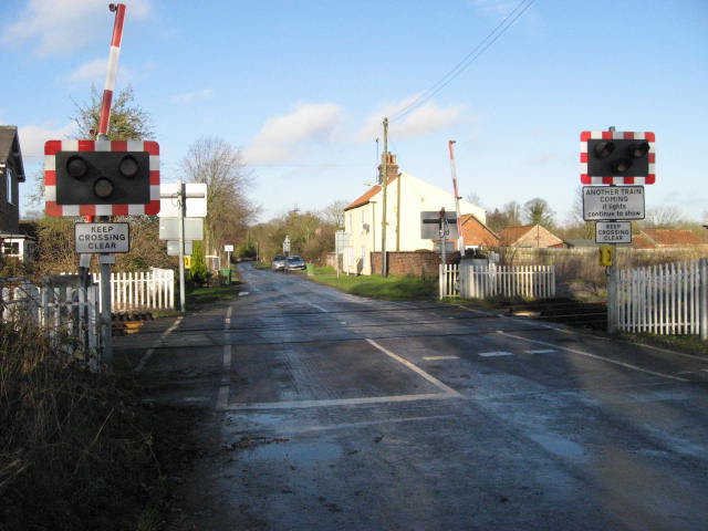
We don't yet have any user-contributed photos of Nether Lane Level Crossing.