Latitude: 52.0849 / 52°5'5"N
Longitude: 0.0039 / 0°0'14"E
OS Eastings: 537405
OS Northings: 244839
OS Grid: TL374448
Mapcode National: GBR K7C.7TL
Mapcode Global: VHHKM.0VYM
Pluscode: 9F4232M3+WH
What3Words: petulant.piglets.umbrella
Is the location marker in the wrong place? You can help fix that!
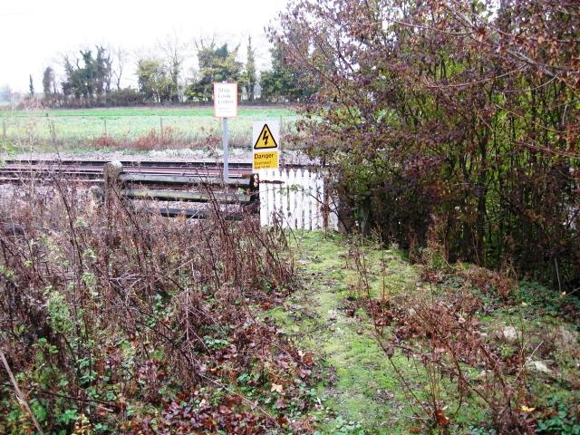
We don't yet have any user-contributed photos of No Name No.19 Level Crossing.