Latitude: 53.701 / 53°42'3"N
Longitude: -0.3721 / 0°22'19"W
OS Eastings: 507566
OS Northings: 423959
OS Grid: TA075239
Mapcode National: GBR TTVN.71
Mapcode Global: WHGFY.871L
Pluscode: 9C5XPJ2H+95
What3Words: whips.palms.enjoy
Is the location marker in the wrong place? You can help fix that!
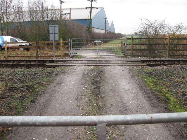
We don't yet have any user-contributed photos of No.2 Level Crossing.