Latitude: 53.5776 / 53°34'39"N
Longitude: -0.139 / 0°8'20"W
OS Eastings: 523311
OS Northings: 410606
OS Grid: TA233106
Mapcode National: GBR WWG2.P8
Mapcode Global: WHHHR.TBZQ
Pluscode: 9C5XHVH6+29
What3Words: circulate.fees.sweep
Is the location marker in the wrong place? You can help fix that!
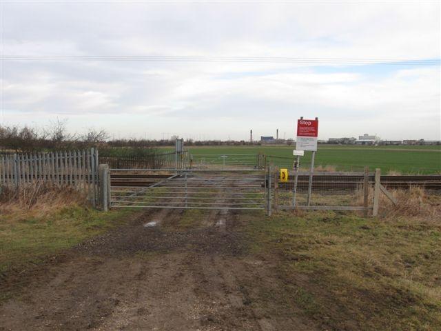
We don't yet have any user-contributed photos of No.29 Level Crossing.