Latitude: 50.846 / 50°50'45"N
Longitude: -0.8827 / 0°52'57"W
OS Eastings: 478755
OS Northings: 105761
OS Grid: SU787057
Mapcode National: GBR CF3.ZKC
Mapcode Global: FRA 961V.V7T
Pluscode: 9C2XR4W8+CW
What3Words: handicaps.laptops.punt
Is the location marker in the wrong place? You can help fix that!
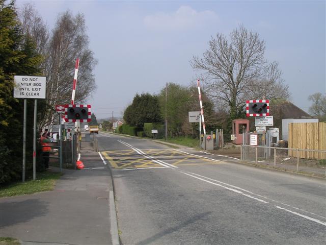
We don't yet have any user-contributed photos of Nutbourne Level Crossing.