Latitude: 51.8908 / 51°53'27"N
Longitude: -2.9733 / 2°58'23"W
OS Eastings: 333116
OS Northings: 221812
OS Grid: SO331218
Mapcode National: GBR F7.R33L
Mapcode Global: VH78V.FQ0V
Pluscode: 9C3VV2RG+8M
What3Words: recorders.devours.silently
Is the location marker in the wrong place? You can help fix that!
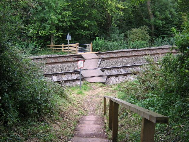
We don't yet have any user-contributed photos of Offa's Dyke Path Level Crossing.