Latitude: 51.7522 / 51°45'8"N
Longitude: -2.2904 / 2°17'25"W
OS Eastings: 380047
OS Northings: 205990
OS Grid: SO800059
Mapcode National: GBR 0L4.3RL
Mapcode Global: VH94X.8702
Pluscode: 9C3VQP25+VR
What3Words: profiled.stews.desks
Is the location marker in the wrong place? You can help fix that!
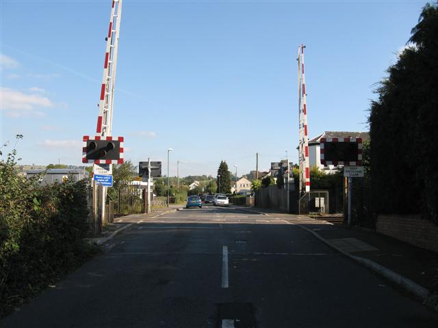
We don't yet have any user-contributed photos of Old Ends Level Crossing.