Latitude: 51.2126 / 51°12'45"N
Longitude: 0.0019 / 0°0'6"E
OS Eastings: 539920
OS Northings: 147833
OS Grid: TQ399478
Mapcode National: GBR KKT.TJ8
Mapcode Global: VHGSD.ZSBB
Pluscode: 9F326272+2P
What3Words: crown.spent.shop
Is the location marker in the wrong place? You can help fix that!
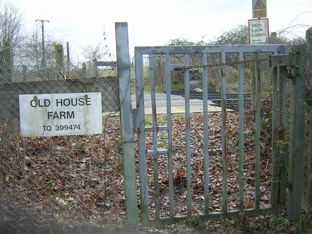
We don't yet have any user-contributed photos of Old House Farm Level Crossing.