Latitude: 51.804 / 51°48'14"N
Longitude: -0.8101 / 0°48'36"W
OS Eastings: 482143
OS Northings: 212370
OS Grid: SP821123
Mapcode National: GBR D2Y.S1R
Mapcode Global: VHDV4.XX3G
Pluscode: 9C3XR53Q+HX
What3Words: moral.these.commented
Is the location marker in the wrong place? You can help fix that!
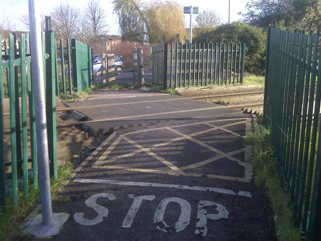
We don't yet have any user-contributed photos of Old Stoke Road Level Crossing.