Latitude: 57.7033 / 57°42'11"N
Longitude: -4.1459 / 4°8'45"W
OS Eastings: 272219
OS Northings: 870186
OS Grid: NH722701
Mapcode National: GBR J84C.7NT
Mapcode Global: WH4FC.9M0Y
Pluscode: 9C9QPV33+8M
What3Words: brass.clinic.singing
Is the location marker in the wrong place? You can help fix that!
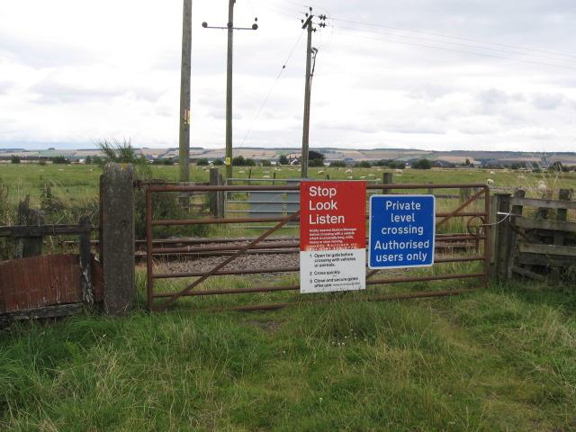
We don't yet have any user-contributed photos of Ord Mains Level Crossing.