Latitude: 52.9501 / 52°57'0"N
Longitude: -0.8252 / 0°49'30"W
OS Eastings: 479028
OS Northings: 339838
OS Grid: SK790398
Mapcode National: GBR CN5.25Q
Mapcode Global: WHFJ8.938P
Pluscode: 9C4XX52F+2W
What3Words: exploring.coping.twinkling
Is the location marker in the wrong place? You can help fix that!
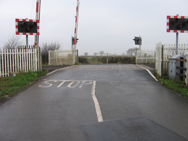
We don't yet have any user-contributed photos of Orston Lane Level Crossing.