Latitude: 53.1459 / 53°8'45"N
Longitude: -0.4052 / 0°24'18"W
OS Eastings: 506764
OS Northings: 362161
OS Grid: TF067621
Mapcode National: GBR GQ6.SG6
Mapcode Global: WHGJM.R683
Pluscode: 9C5X4HWV+9W
What3Words: decorator.employers.assume
Is the location marker in the wrong place? You can help fix that!
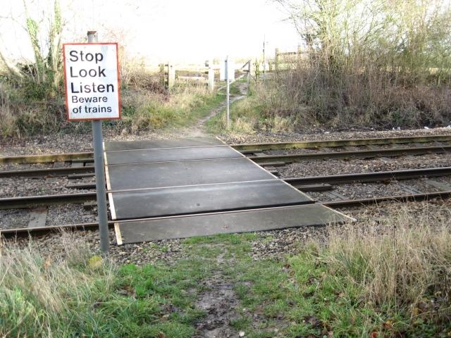
We don't yet have any user-contributed photos of Ox Pasture Lane Level Crossing.